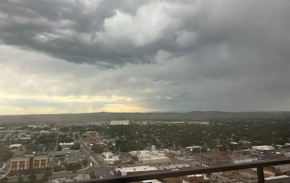
You better get used to afternoon showers and thunderstorms for the next several days, with the current forecast predicting a stretch of wet and stormy days for Billings.
The National Weather Service reports that over 200 lightning strikes in the western Montana area late Friday resulted in numerous small fires being battled over the weekend.
Temperatures are expected to be in the mid-90s on Tuesday (6/28) around Yellowstone County, and that could be fuel to fire up some severe thunderstorms.
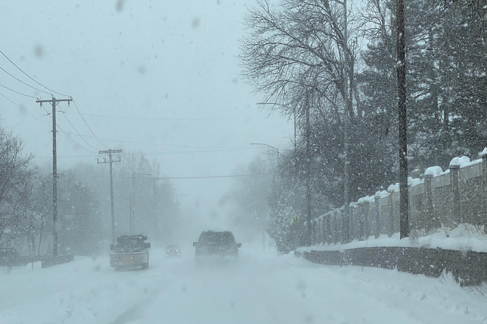
Some portions of Yellowstone County could get a significant amount of snow accumulation this weekend, with another spring storm bringing whiteout conditions to parts of Montana.
After Billings received the highest April snowfall total since 1955 last week, with a total of 13.9 inches of accumulation on April 12, you would hope that was our last blast of winter weather. Maybe not.
Travel is expected to be "difficult to impossible" around Billings beginning tomorrow (Tuesday) as an early Spring storm could dump over a foot of snow in our area by Wednesday (4/13).
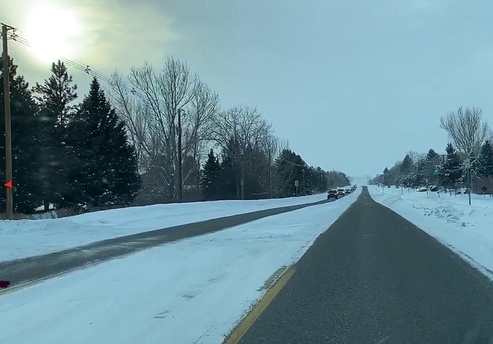
It feels like spring has arrived in the Billings after a weekend with mild temperatures and an even warmer start to the week, but you may not want to put away your winter coat and snow boots just yet.