Billings, I know you're getting used to warmer weather, but I'm afraid I've got some bad news. We've got to get prepared for another round of snow and cold temps.
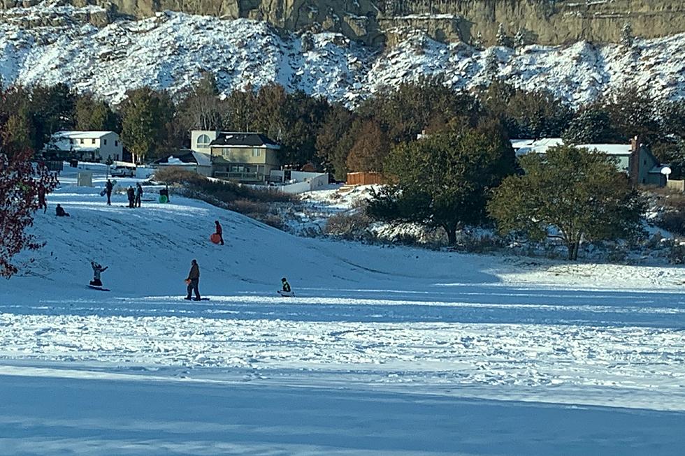
Don't get used to the mild temperatures we're expecting to start the Magic City weekend, because by Sunday (2/20) the weather around Yellowstone County will be drastically different.
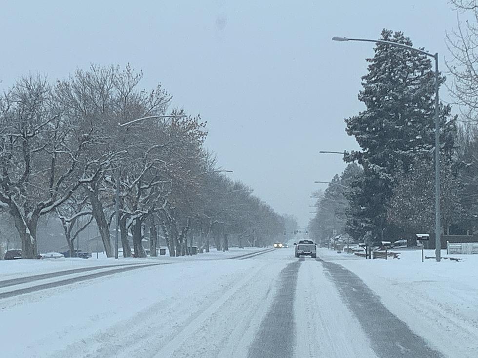
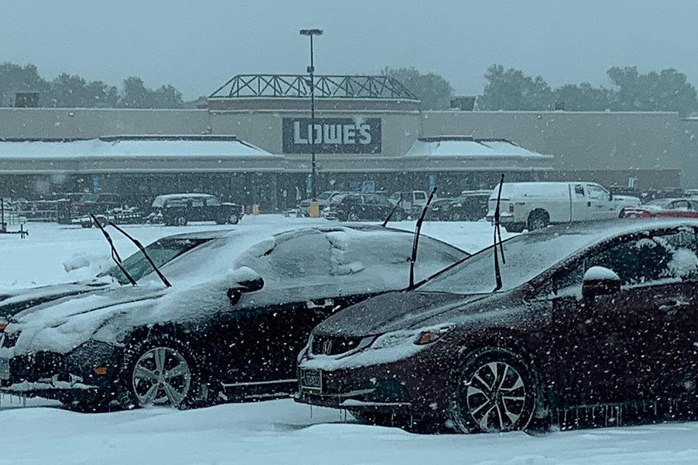
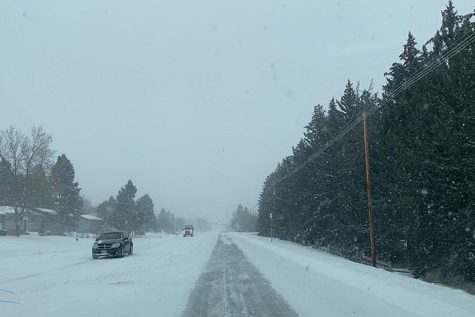
Temperatures could get close to 50 degrees on Tuesday (12/14) around the Magic City, but the mild weather is about to end, and a chance of a significant snowfall is possible by midweek, according to the current National Weather Service forecast.
Colder temperatures and some significant snow accumulation is expected this week through many parts of Montana, with some areas of the state predicted to have more than 18 inches of powder by midweek.
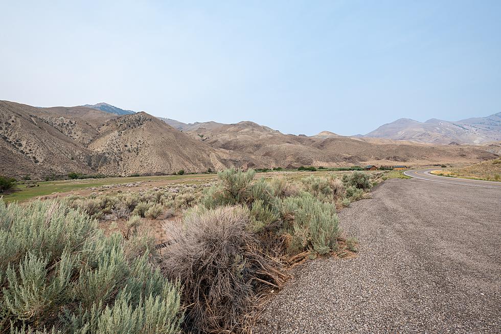
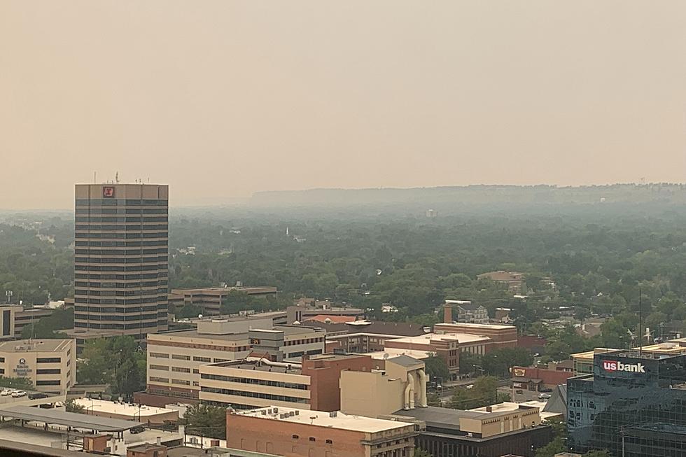
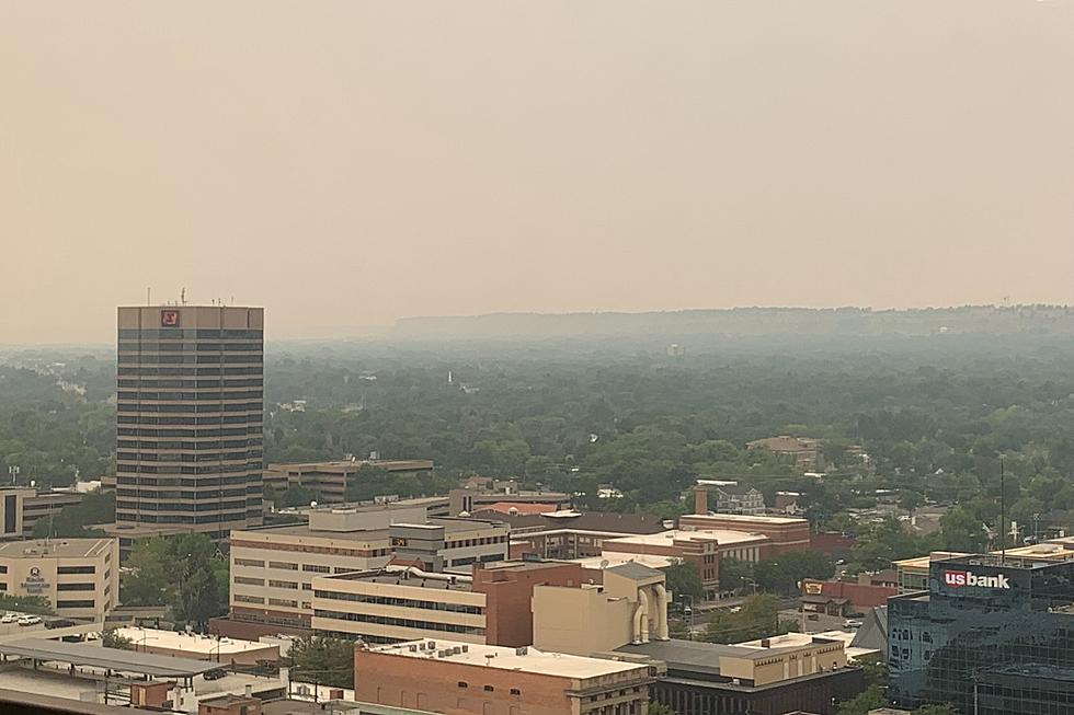
There will be elevated fire danger for Yellowstone County through tomorrow (Tuesday) with high temperatures expected to be in the 80's, but a pattern change is coming to Billings weather.
The National Weather Service has issued a Red Flag Warning for Yellowstone County, and most of southeastern Montana, with conditions elevated for fire weather on Wednesday (9/15).
A more then 40 degree swing is coming to the Magic City, with some forecasts predicting highs going from 105 degrees yesterday (Monday) to the upper 50's by tomorrow.
South central and southeastern Montana will have "strong to severe thunderstorms" between 3pm and 10pm, according to the National Weather Service forecast