
NEW UPDATE: 12″ MORE Possible In Montana Mountains By Friday
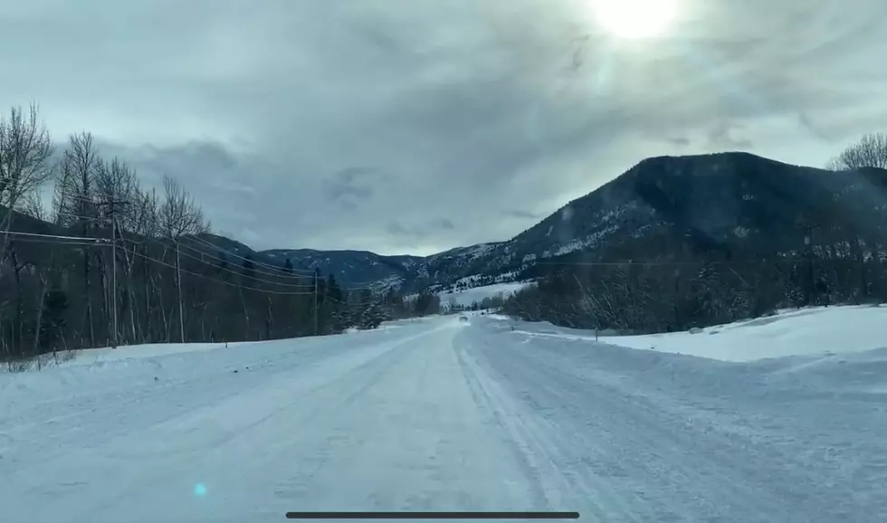
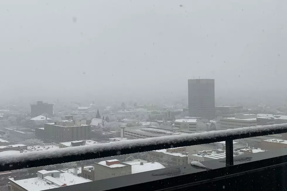
Snow will continue to fall across most of Montana through at least Friday morning. Higher elevations are getting lots of snow, while the valleys are seeing less but frequent light snowfalls. Thursday night is expected to bring lots more snow, along with some wind.