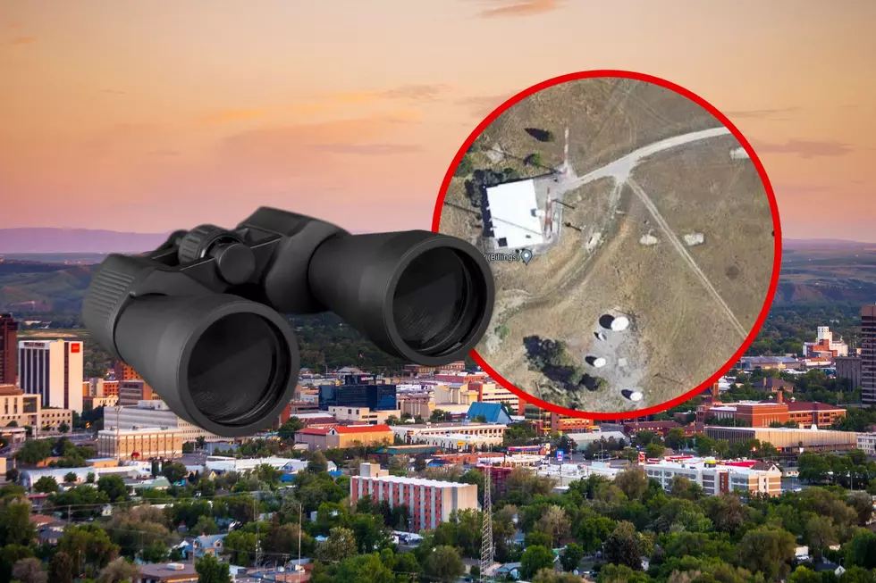
What The Chinese Spy Balloon Saw Over Billings, Hypothetically of Course
Montana rarely seems to make national headlines, except when weird stuff happens or when the MSM is talking about the TV series Yellowstone. Remember the Unabomber? Freemen? Church Universal Triumphant? All of those were fairly bonkers news stories that became headlines on networks and newspapers around the nation.
We made the news again, in a big way, when Montanans were among the first to spot and report what later became identified as a 200-foot diameter Chinese spy balloon, loaded with tech that government officials have yet to identify (or tell the public, at this point).
We now know it drifted in from Alaska, floated over the Canadian border, and loitered over our skies for at least a day, before drifting across the rest of the United States. Its flight path went pretty much right over Malmstrom AFB in Great Falls, as well as the huge patch of land that is home to 150 intercontinental nukes scattered across Montana. Concerning? You betcha. But I thought it might be fun today to lighten the mood a bit and delve into what the spy balloon might have seen as it slowly sailed over Yellowstone County.
Critical infrastructure.
And by critical, I mean Billings Regional Landfill (seen above). From high altitudes, the facility could appear to be something sinister, but we know it's just junk. Stinky, nasty garbage. If the Chinese want it, come and get it.
Historic sites.
The not-so-sneaky spy balloon surely snapped some hi-res images of Pompeys Pillar near Ballentine on the eastern edge of Yellowstone County. Lewis and Clark THIS, China!
Food supply networks.
No doubt the puffy white ballon thing got some great shots of various cattle feedlots, like the one seen above near Shepherd.
Critical transportation hubs.
I'm not sure they'd really need a balloon to take images of infrastructure. Google Maps and Google Earth already show incredible detail to the publics eye. Imagine what kind of tech governments can access to see things anywhere in the world. We've all heard that spy satellites (ours AND theirs) can supposedly zoom in close enough to see the logo on a suicide bomber's sunglasses in Fallujah.

Retail infrastructure.
You just know that stupid Chinese spy balloon caught pictures of one of the largest Scheels stores in the region. They're probably jealous.
Communications infrastructure.
Floating over Billings at 60,000 feet, the balloon undoubtedly captured images of our public communications towers, like the array of blinking lights you'll see on Sacrifice Cliffs on the edge of town, where just about every radio and TV station in Billings has broadcast towers.
Our well-armed militia.
The above image is a cool shot (pun intended) of the 17-Mile Shooting Area, north of Billings on Roundup Road. The Chinese were probably like, "What the heck?! Everyone in Montana is armed to the teeth!"
Random tiny "airports"
There are a surprising number of private landing strips/airfields in the pastures of Montana. This circular dot I found on Google north of Billings looks more like a helipad, but it's tough to tell for sure.
Cooling ponds?
Um, no. This image above is one of the many smelly, alkaline algae ponds found across the state. This one happens to be right behind the 3 North Bar and Restaurant in Acton.
Farms. Lots of farms.
Honestly, what the balloon probably captured most - if it was in fact taking photos - as it floated over Montana and other "flyover states" is farmland. So. Much. Farmland. Maybe they were just checking in on all of the ag properties they've purchased in the US.


