Billings’ Forecast Has 7 Days Of Rain, Colder Through Weekend
After four days above 80 degrees, the Magic City will experience a huge temperature drop and what could be a soggy couple of weeks.
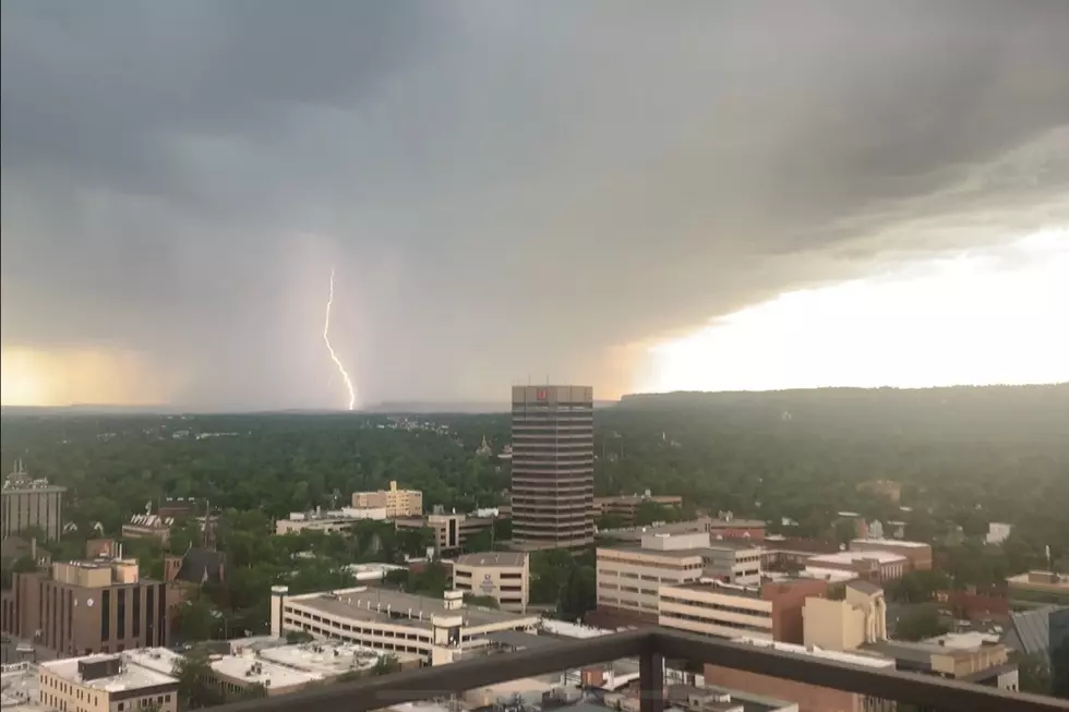
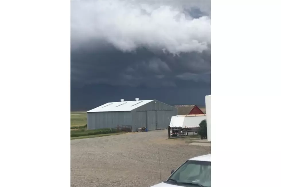
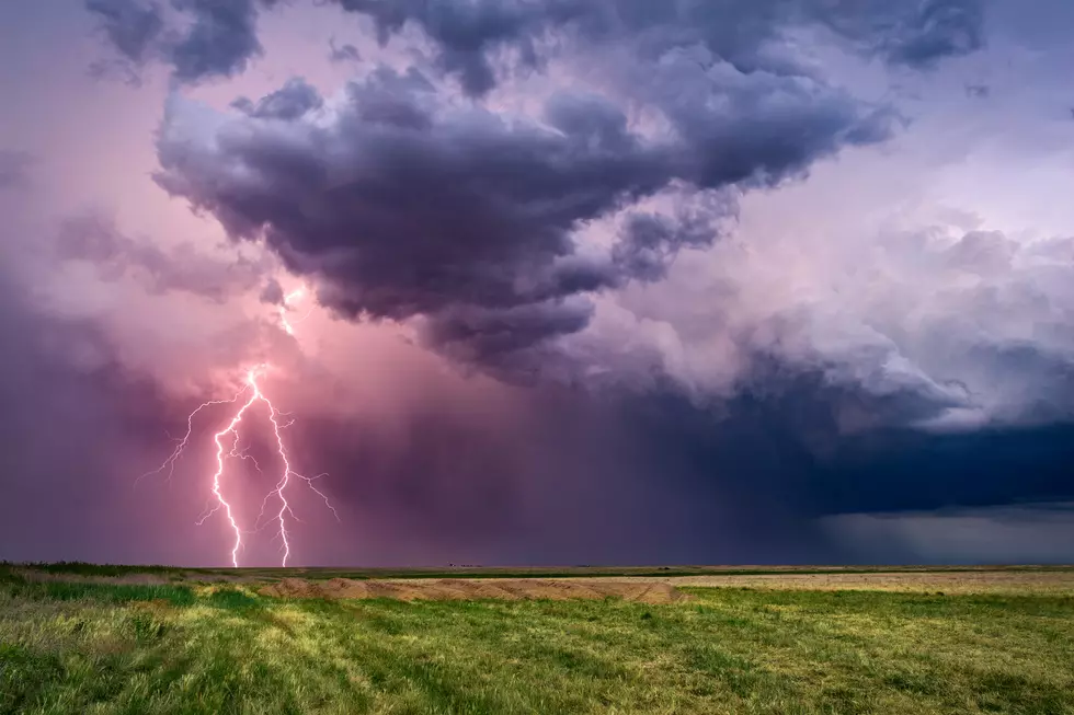
The first round of Thunderstorms rolled through Billings on Thursday night (5/16) with more severe weather expected Friday afternoon. The National Weather Service says hail, strong winds and heavy rain are possible with these storms and expects 1 to 3 inches of rain over the next 7 days. Snow accumulation likely in higher elevations.
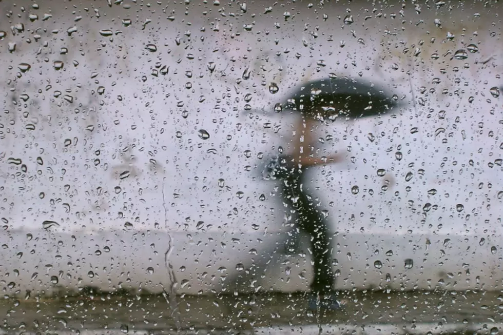
According to the Weather Channel forecast, there's no less than a 20 percent chance of rain for Billings through May 30.
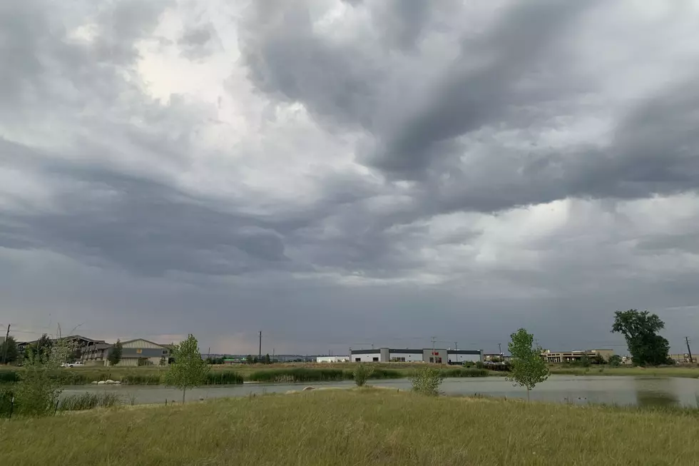
Cooler temperatures will settle in Friday night with lows in the 30's and then high temps aren't expected to reach 60 until Memorial Day weekend. Highs will be in the upper 40's and lows in the 30's through Monday (5/22) before a gradual warm up bring more seasonal temperatures.
Additional concerns from the National Weather Service:
The wet and cool weather will put young livestock at risk. Mountain snowfall may hinder snow removal over the Beartooth Highway, Foothills locations like Red Lodge and Story could see some wet snow accumulation late Friday night through Saturday night.
Traveling through Montana this weekend? CLICK HERE to check up-to-the-minute road conditions across the Treasure State.
More From Cat Country 102.9