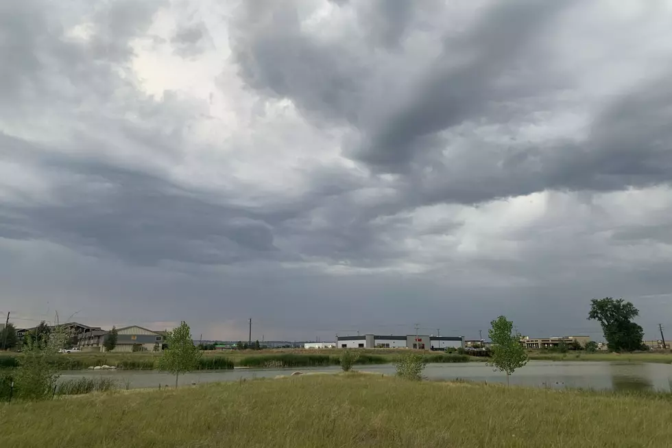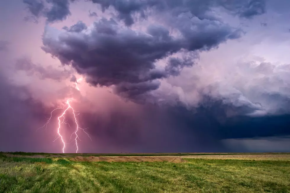
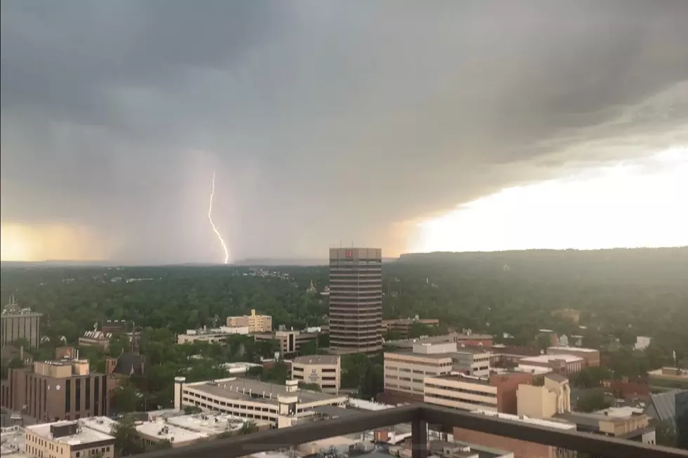
T-Storms Possible in Billings with Up to Quarter-Sized Hail
Billings weather is expected to go from warm to cool this weekend, with a chance for some severe thunderstorms tonight (Friday 5/7), according to the National Weather Service.
Isolated severe thunderstorms are possible for Yellowstone County, with a potential for storms from Roundup to Red Lodge, according to the NWS forecast.
The National Weather Service is predicting the severe storms will arrive between 4pm and 9pm Friday (5/7), with up to 60 mph winds, and the possibility for up to quarter-sized hail.

"Locations along and west of a line from Red Lodge to Billings and Ingomar have the greatest potential for a strong to severe thunderstorm," according to the National Weather Service forecast.
High temperatures around Yellowstone County were in the mid to upper 70's on Friday, but the weekend will be "cooler and wetter," with high temperatures only expected to reach the 50's on Saturday and Sunday, along with "pockets of heavy rain possible," according to the N.W.S.
The weekend forecast also predicts accumulation snowfalls in the mountains, with Cooke City getting up to 3 inches of snow, and up to 6 inches possible around Burgess Junction, Wyoming. Elevations above 6000 feet could get up to 12 inches of accumulation over the weekend, according to the National Weather Service.
The Great Falls area will be under a Winter Weather Advisory from 6pm Saturday (5/8) through 12 noon MDT on Sunday (5/9), where the N.W.S. predicts 1 to 3 inches in lower elevations, and 4 to 8 inches in the mountains. The advisory will be in effect for Judith Basin, Cascade and Meagher Counties.
For up-to-date road conditions in Montana, CLICK HERE.
For up-to-day road conditions in Wyoming, CLICK HERE.
LOOK: Here are the best small towns to live in across America
KEEP READING: Here are the best places to retire in America
50 Famous Brands That No Longer Exist
More From Cat Country 102.9