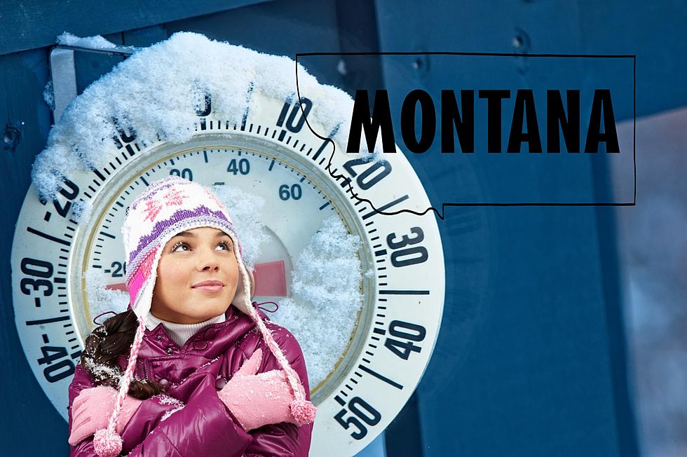
Remember Surviving Without A/C in Montana?Remember Surviving Without A/C in Montana?I'm here to tell you, it wont get better until fall like it always has for thousands of years. So put your big girl panties on and press on...Paul MushabenPaul Mushaben
Love Ice Cream? These Are Montana's Best Ice Cream ShopsLove Ice Cream? These Are Montana's Best Ice Cream ShopsNeed a sweet frozen treat to cool off this summer? Check out a few of Montana's best ice cream shops!Jesse JamesJesse James
This Beautiful Reservoir Was Named Montana's Best Swimming HoleThis Beautiful Reservoir Was Named Montana's Best Swimming HoleLooking for the best swimming hole in Montana? Here you go!Jesse JamesJesse James
Is This The Best Montana Winter Meme Of All Time? Is This The Best Montana Winter Meme Of All Time? Check out this hilarious Montana winter meme that is taking the internet by storm.Jesse JamesJesse James
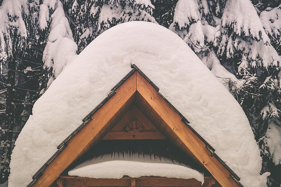
5 of the Best Ways to Survive a Brutal Montana Winter5 of the Best Ways to Survive a Brutal Montana WinterStay cozy and safe during Montana's subzero winter temperatures.Jesse JamesJesse James
New Chairlift in MT Gets Hilarious Nickname. Here's the StoryNew Chairlift in MT Gets Hilarious Nickname. Here's the StoryA new chairlift at a popular Montana ski area has been given a unique name. Here's the story behind it.Jesse JamesJesse James
Popular Montana Ski Resort Blasted With Over a Foot of New SnowPopular Montana Ski Resort Blasted With Over a Foot of New SnowSnow is starting to pile up in Montana!Jesse JamesJesse James
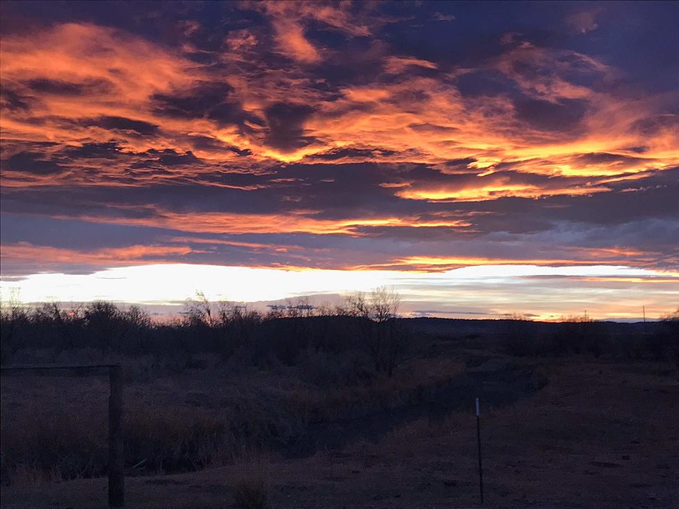
Beautiful MT Highway Voted One Of America's Best Places For FallBeautiful MT Highway Voted One Of America's Best Places For FallIf you want to enjoy colorful Fall foliage in Montana, you need to visit this place.Jesse JamesJesse James
Montana Northern Lights / Aurora BorealisMontana Northern Lights / Aurora BorealisOver the next few days, the northern lights are expected to be visible in Montana.Bill "Stu" StewartBill "Stu" Stewart
Was 2023 A Record For Rain and Cold in Billings?Was 2023 A Record For Rain and Cold in Billings?most Montanan's have mentioned that this rain and cold is NOT NORMAL.Bill "Stu" StewartBill "Stu" Stewart
Montana, Stop With The ‘We Are In Great Shape So Far’ TalkMontana, Stop With The ‘We Are In Great Shape So Far’ TalkWe have the early spring green right now but it won't last long without constant rain.Paul MushabenPaul Mushaben
Access is Extremely Limited On This Forbidden Montana RoadAccess is Extremely Limited On This Forbidden Montana RoadHave you ever tried to drive down this road in Montana? Unless you have a special pass, you can't.Jesse JamesJesse James