Strong Monsoonal Storms Could Drench the Billings Area This Weekend
Monsoonal is not a word that we hear very often in Montana. According to the dictionary, a monsoon is defined as:
- a periodic wind especially in the Indian Ocean and southern Asia
- the season of the southwest monsoon in India and adjacent areas that is characterized by very heavy rainfall
- rainfall that is associated with the monsoon
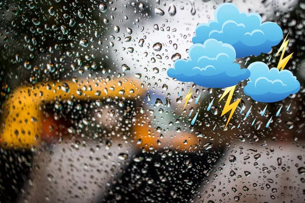
Flash flooding and locally heaving rain are possible.
In a post today, the NWS Billings raised the threat level to "HIGH" for our region, with heavy rainfall possible from Friday afternoon (8/12) through Sunday. Up to 1 inch of rain could fall quickly in some areas, raising a chance of life-threatening flash flooding and debris flows. Areas with burn scars are at the biggest risk for erosion.
Montana ranks 45th for rainfall.
We all know it's pretty dry in Big Sky Country. According to historical data, Montana is one of the driest states in the US, receiving just 15.37 inches of rain annually. The most rain ever recorded at one time in Billings occurred in April 1905, when a downpour dropped 4.68 inches of rain on the Magic City.
The rain is great. Lightening, not so much.
As of 2 pm Friday, the chance of rain remains relatively low (20 - 40%) throughout the weekend, so these "monsoonal" conditions could be quite localized. The monsoonal system has been wreaking havoc in Nevada in the last 24 hours.


