Labor Day Mountain Snow, Temps Could Drop 60+ Degrees

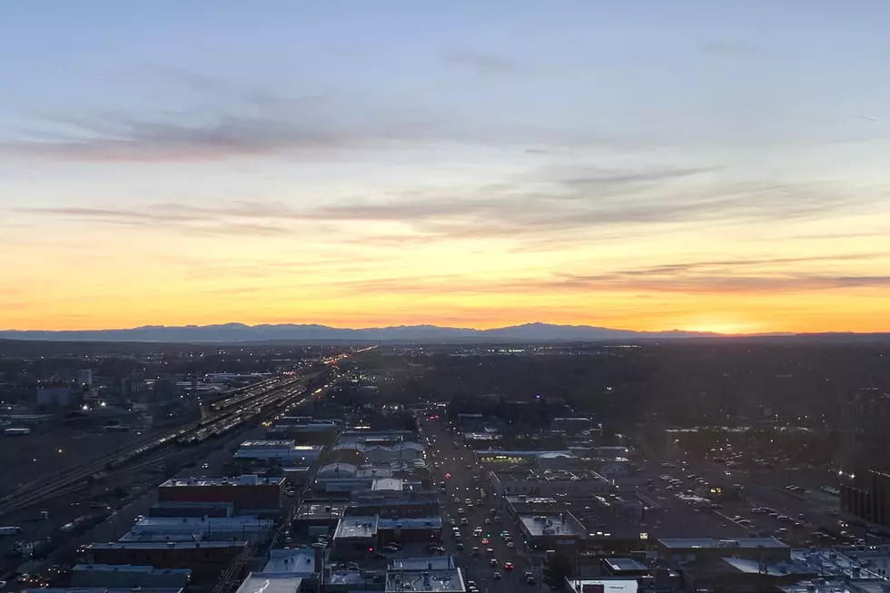
Temperatures could be near triple-digits on Saturday in Billings, with a Fire Weather Watch in effect from noon to midnight, according to the National Weather Service.
After near record highs on Saturday, a cold front is expected on Sunday night that could bring some Labor Day mountain snow across the Beartooth Highway, and possibly flurries to lower elevations.
According to the National Weather Service forecast for Billings, there's a 40 percent chance of rain on Sunday night (9/6), with a low in the upper-40's. On Labor Day Monday, there's an 80 percent chance of rain with a high expected in the lower 60's. Lows are expected to drop into the 30's in Billings on Monday night, with lower elevation snow flurries possible.
In Red Lodge, snow could start on Monday night, and continue until noon on Tuesday with highs only expected to be in the lower 50's. The National Weather Services warns of "rapidly changing weather conditions" for those traveling the Beartooth Highway (212), and Burgess Junction (14) on Monday (9/7) and Tuesday (9/8).
To check LIVE road conditions from the Montana Department of Transportation before you travel, CLICK HERE.
For LIVE road conditions across the state of Wyoming, CLICK HERE.
KEEP READING: Get answers to 51 of the most frequently asked weather questions...
More From Cat Country 102.9


