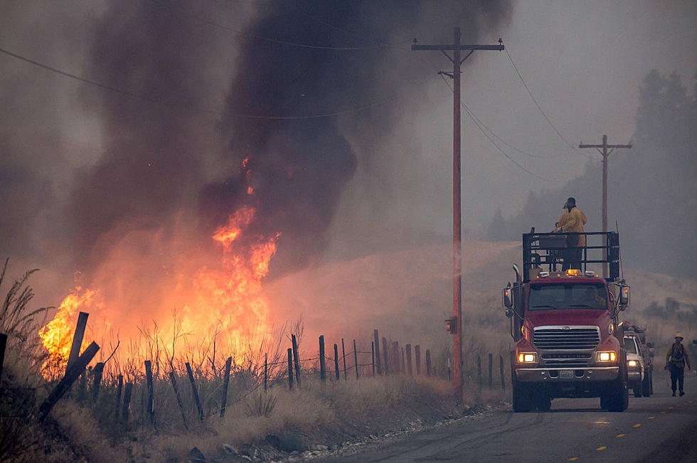
Red Flag Warning Saturday, Mountain Snow Possible Through Sunday (9/27)
With low humidity, dry conditions, and gusty winds expected Saturday (9/26), the National Weather Service is warning of "critical fire weather conditions" tomorrow for Billings.
The N.W.S. Red Flag Warning will be in effect from noon to 9pm MDT Saturday for south central Montana, including Yellowstone, Big Horn, Carbon, Park, Stillwater, and Sweet Grass County.
A Red Flag Warning means that critical fire weather conditions are either occurring now, or will shortly. A combination of strong winds, low relative humidity, and warm temperatures can contribute to extreme fire behavior. -National Weather Service
According to National Weather Service forecasts, humidity will be as low as 15 percent on Saturday, with wind gusts up to 55 mph possible. Temperatures will be mild, with high expected to be in the upper 60's around the Magic City.
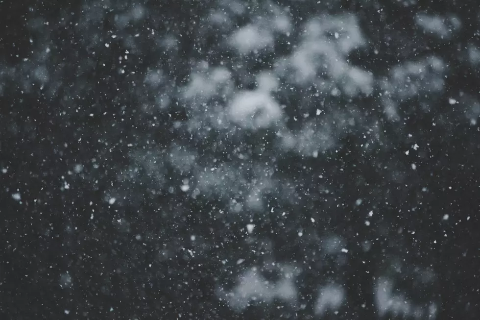
Mountain snow is expected late tonight through Sunday, with some areas around Cooke City getting up to 2 inches of accumulation. The N.W.S. says to "expect snow showers and occasionally reduced visibility over Beartooth Pass and Highway 14 through the Bighorn Mountains." If you're camping or hiking in the area, be prepared for cold and wet conditions this weekend.
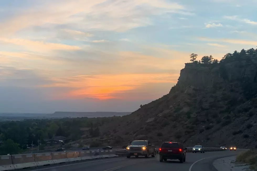
Traveling on I-90 through Livingston and Big Timber could be difficult tonight (Friday), with the strongest wind gusts in that area are expected through tomorrow. Some gusts could reach more than 60 mph, so motorists in high profile vehicles are being advised to "delay travel" or find alternate routes.
To check up-to-date road conditions in Montana, CLICK HERE.
For live road conditions in Wyoming, CLICK HERE.
LET'S GO: The most popular historic sites in America
More From Cat Country 102.9