After temperatures hit the 50's on Saturday, a dramatic drop of up to 30 degrees will happen in 24 hours as a winter weather front brings icy roads to the area on Sunday.
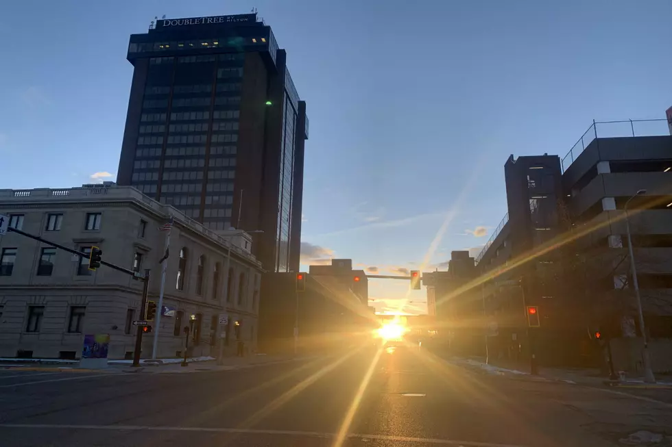
Temperatures are expected to be in the mid 60's today (11/9), so get out and enjoy it because it's not going to last. A cold front will bring a wintry mix into the Magic City beginning tonight.
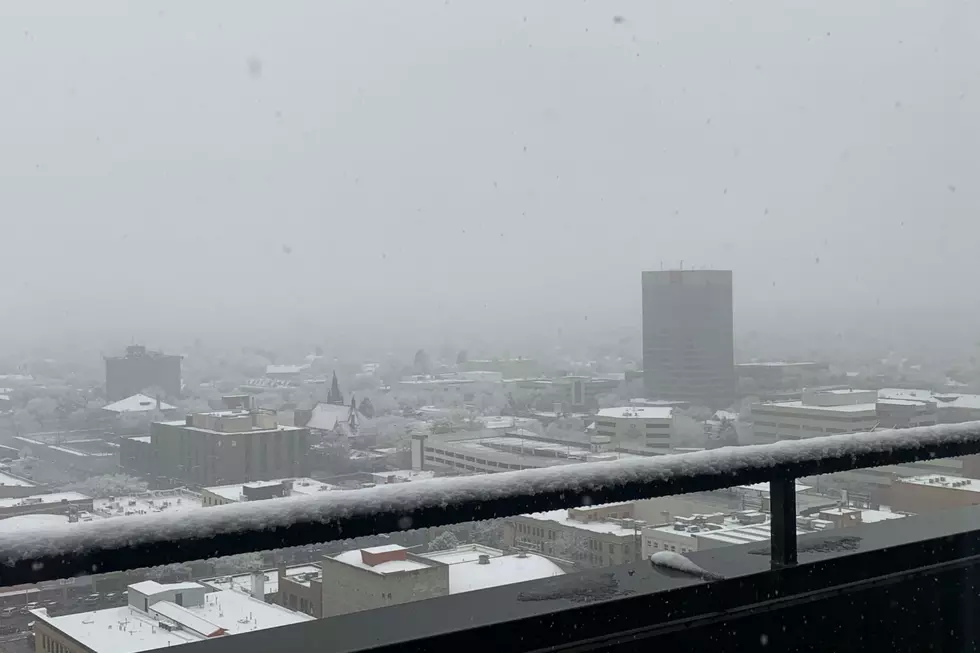
The Wednesday (11/6) commute could be hazardous with moderate snowfall expected for Billings until mid-morning, according to the National Weather Service.
With another round of snow and up to 30mph wind gusts expected, a Winter Weather Advisory will be in effect for Yellowstone County beginning at 9am MDT on Monday
The forecast just got worse for Yellowstone County. The National Weather Service is now predicting Billings could get 8 to 12 inches of snow accumulation by Thursday (10/10).
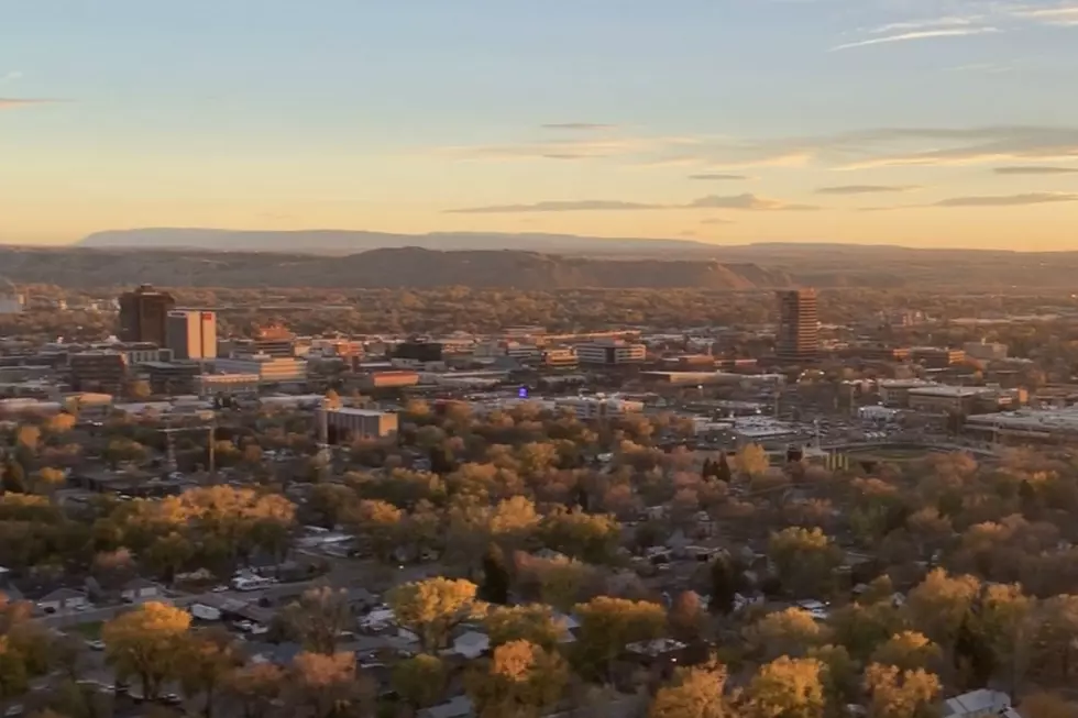
Billings will start the work week with highs in the 70's. But don't get used to it. Temperatures start to plummet on Tuesday night, and more than a half a foot of snow is possible by Thursday morning (10/10).
A Blizzard Warning continues through 6am Monday (9/30) for Eastern Glacier. That includes Browning, where 40 inches of snow had accumulated as of this morning (Sunday 9/29), according to the Great Falls Tribune.
Western Montana is preparing for what the National Weather Service is calling a "Historic Winter Storm" that's expected to hit this weekend. A Winter Storm Watch will be in effect from 6pm Friday, September 27 through 6pm on Sunday, September 29 for most of the state's western half.
The Farmer's Almanac is predicting a "Parade of Snowstorms" for our region this Winter. With Monday (9/23) being the first day of Fall, that "parade" may end up rolling down streets of the Magic City a little sooner that anyone wanted.