Winter Weather Advisory Begins At 6pm; 2-3″ For Billings
Temperatures are expected to be in the mid 60's today (11/9), so get out and enjoy it because it's not going to last. A cold front will bring a wintry mix into the Magic City beginning tonight.
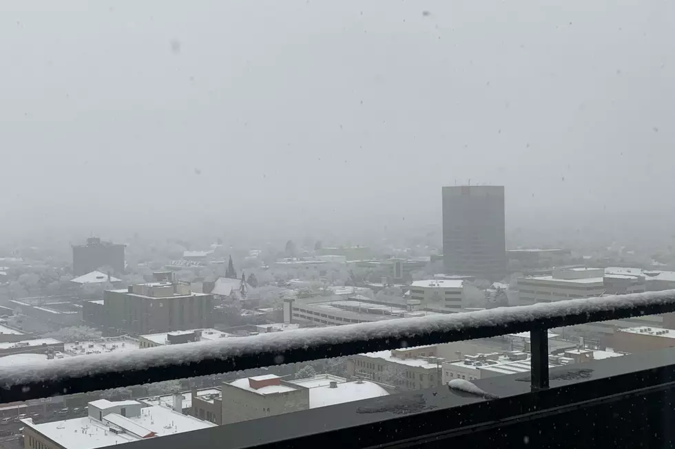
The National Weather Service has issued a Winter Weather Advisory from 6pm Saturday (11/9) through 3am Monday (11/11) for most of southeast Montana, including Yellowstone County.
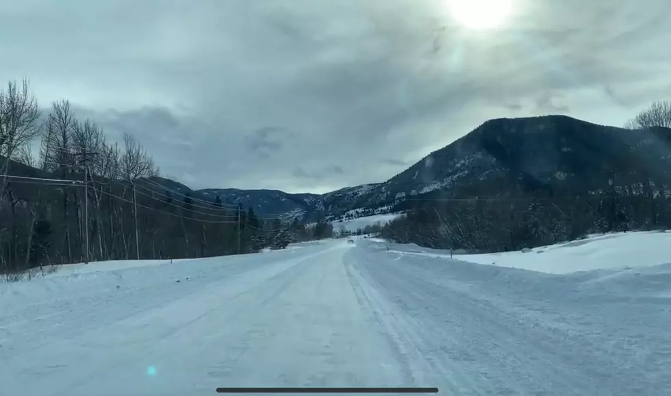
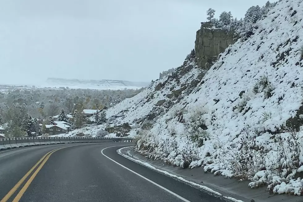
According to the N.W.S., freezing drizzle and rain will begin late tonight before turning to all snow. Accumulations of 2 to 3 inches is possible for Billings by Sunday night (11/10). Expect hazardous travel conditions by Sunday morning with temperatures dropping below freezing.
Heavier snowfall is expected north of Yellowstone County with a Winter Storm Warning in effect beginning at 5pm tonight (11/9) for Hill, Chouteau, Blaine, and Fergus County. Up to 10 inches of snow is possible in higher elevations near Lewistown and Havre.
For those traveling I-90 through Livingston on Saturday (11/9), high winds are expected through 5pm, with gusts of 55+ mph. To get live road updates from the Montana Department of Transportation, CLICK HERE.
More From Cat Country 102.9