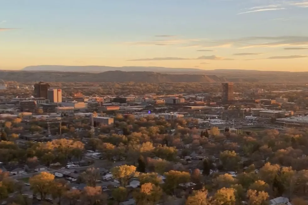
Winter Weather Advisory In Effect, 1-2″ Possible For Billings
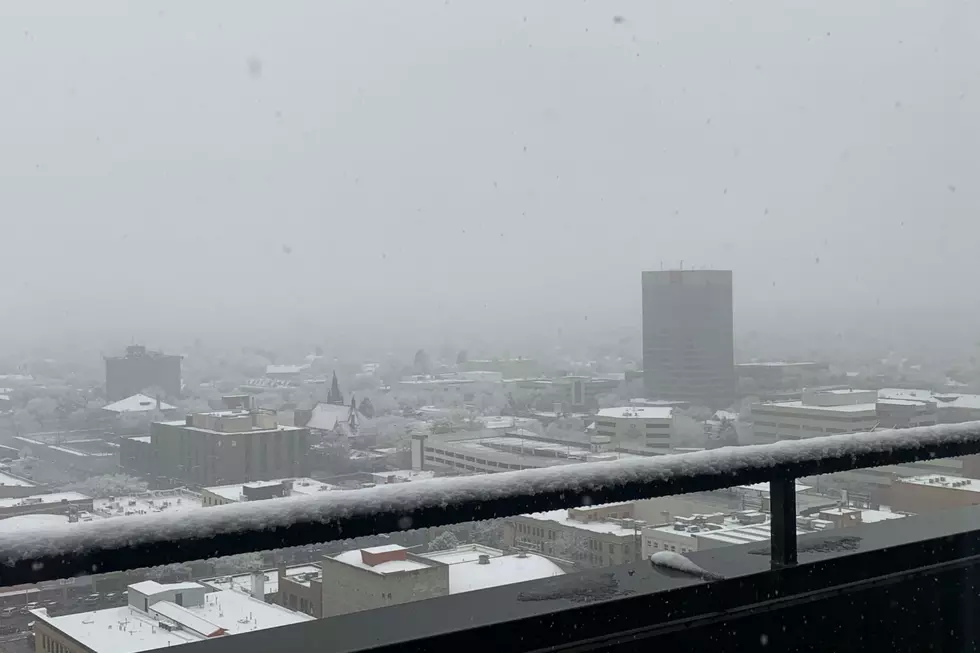
The Wednesday (11/6) commute could be hazardous with moderate snowfall expected for Billings until mid-morning, according to the National Weather Service.
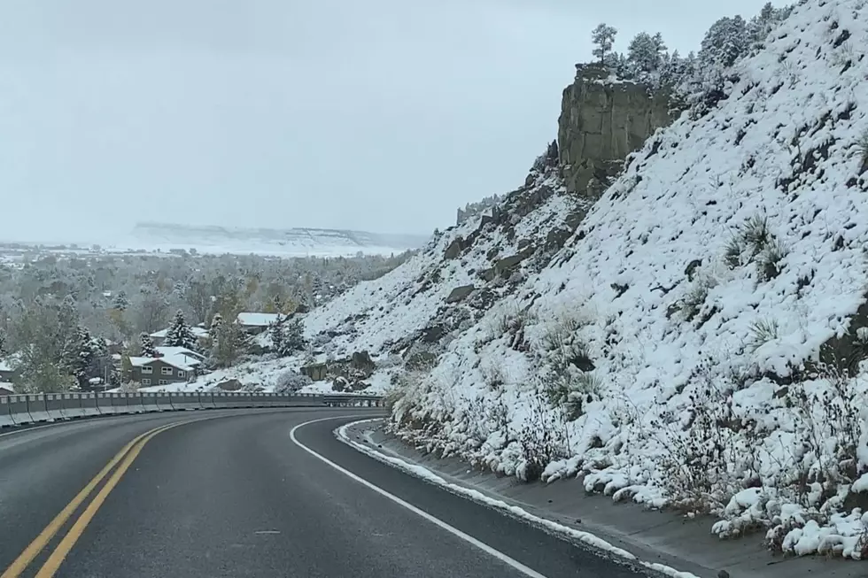
A Winter Weather Advisory will be in effect until 11am MDT Wednesday for Yellowstone County, and most of southeastern Montana. Snow accumulations of 1 to 3 inches is expected in the lower elevations. NWS predicts 1-2" for Billings, up to 3" for Roundup, and less than an inch in Red Lodge.
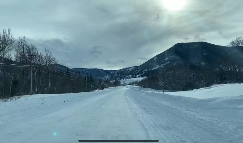
At 11:30pm Tuesday (11/5), Light snow was falling on the west end of Billings and is expected to continue until mid-afternoon Wednesday.
The 10-Day forecast has temperatures rebounding into the mid 40's on Thursday (11/7), 50's on Friday (11/8), and a High of 60 possible Saturday (11/9). Then another round of snow is possible Sunday (11/10), with accumulations of 1 to 4 inches predicted.
To see the latest Montana Road Conditions, CLICK HERE.
More From Cat Country 102.9