Closures, Notices as Yellowstone River Crests in Billings Area
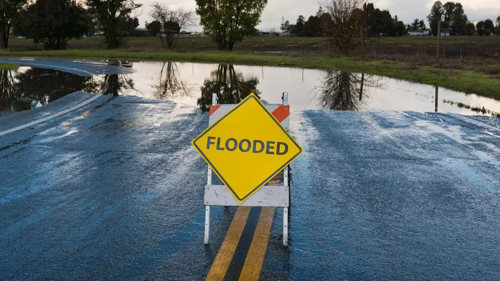
Some flooding is beginning to occur in low-lying areas in Yellowstone County as the raging, murky, debris-filled water of the Yellowstone River is nearing its expected crest of 14.8 feet in the Billings area this afternoon (6/14). Water is now spilling over the riverbank in places around the County. The Yellowstone County Sheriff's Office provided an update on closures at 1 pm Tuesday.
All fishing access sites in Yellowstone County are now closed.
According to the YCSO Facebook post, all fishing access sites are now closed as well as the following roads:
- Byam Road (Clark's Fork river)
- Theil Road (south of Laurel)
- Some areas around East Bridge (Lockwood)
Riverfront Park and Norms Island are closed, as is Riverside Park in Laurel. The Sheriff's Office reassured the public that the construction bridge on the I-90/Lockwood bridge site is stable at this time, and a plan is in place if conditions deteriorate. Sandbags and sand have been staged at Blue Creek & Worden Fire Departments. Please view the river from a distance. Banks are soft and the water pressure has eroded several places.
Red Lodge residents are beginning a massive clean-up effort.
My friend Jill Exner shared the photo above that was taken on Tuesday afternoon. It shows the south end of Broadway where water was raging down the street yesterday, flooding a large portion of the mountain town. Rocks and debris are strewn everywhere. Earlier today, Governor Greg Gianforte declared a state disaster.
Read More: Gov Gianforte Declares Statewide Disaster for Montana Flooding
LOOK: Historic 2022 Flooding in Southern Montana Not Soon to Be Forgotten
More From Cat Country 102.9


