
Golf Ball Size Hail, 80mph Winds In Billings Forecast
Severe weather is expected to arrive in southeastern Montana tomorrow (6/6) afternoon with the potential for large hail, heavy winds and torrential rain through Friday (6/7).
The National Weather Service says these storms will be "West of a line from Roundup to Billings to Red Lodge on Thursday. East of a Miles City to Sheridan line on Friday."
Several inches of snow is likely in the mountains Friday through Sunday, mostly impacting the Beartooth Mountains and Beartooth Pass. N.W.S. reminds those who have outdoor activities planned to monitor weather reports and have a plan if severe weather should approach.
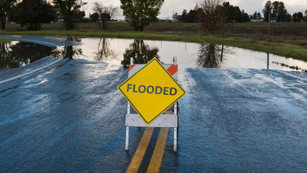
While there's a low possibility of tornadoes, there will be a potential for extremely dangerous rivers with mountain snow melt and expected heavy rainfall. Minor lowland flooding and dangerously fast moving currents are possible, so keep kids and pets away from streams and river banks.
More From Cat Country 102.9