
High Wind Warning Today, Then Snow in Billings Forecast
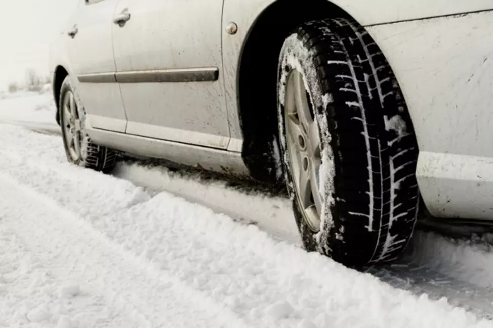
Yellowstone County is under a High Wind Warning until 6pm MDT this evening (Wednesday 10/14), with gusts up to 70 mph possible, and hazardous travel conditions.
According to the National Weather Service, travel will be difficult on I-90, especially for high-profile vehicles, with 55 to 70 mph gusts expected through the evening. NWS also warns of "dangerous crosswinds" along US-12, US-87, US-191, and US-212.
Be alert when traveling through Billings, with many reports of trash cans, and other loose objects being blown into the roadways. Make sure to secure all loose items in your yard, with more strong winds expected this Friday (10/16), according to the National Weather Service.
Billings could see the first significant snowfall in the upcoming days, with a chance of flurries in the forecast beginning tonight (Wednesday). According to the extended forecast from the National Weather Service, there's a 60 percent chance of a rain / snow mix late tonight, with no accumulation expected in Billings.
This weekend however, several inches could accumulate around the Magic City. Current NWS forecast for this Saturday (10/17) predicts that snow is "likely" with up to 2 inches of accumulation possible in Billings, and more possible on Saturday night. Snow continues in the forecast through the weekend, with a 40 percent chance of more snow on Sunday (10/18), and a 20 percent chance on Monday (10/19).
The current Weather Channel 10-Day forecast is a little more aggressive with snow fall totals for Billings predicting 1 to 3 inches of snow on Saturday, an additional 3 to 5 inches on Sunday, and possibly another 1 to 3 inches on Monday.
CLICK HERE to see road conditions for MONTANA.
CLICK HERE to see road conditions for WYOMING.
KEEP READING: Get answers to 51 of the most frequently asked weather questions...
More From Cat Country 102.9