Temps Near 50 Wednesday, Then Snow & Bitter Cold For Billings
We've been enjoying above-average temperatures pretty much since Christmas, and (knock on wood) there have been no big snowfalls. That just means we're going to pay for it later and have snow until June, right?
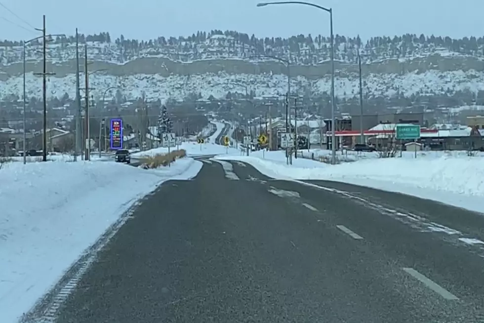
After high temperatures are expected to be around 50 in Billings tomorrow (1/8), the Weather Channel's extended forecast shows a huge drop, with highs only in the single digits next Wednesday (1/15), and more than one chance of significant snowfall.
Billings has a 20 percent chance of snow before 11 p.m. tomorrow (Wednesday) night, according to the National Weather Service. Up to two inches of new snow accumulation is possible in Yellowstone County by Thursday night (1/9). The N.W.S. extended forecast shows at least a 20 percent chance of snow every day from Wednesday (1/8) through Monday (1/13).
It's also a return to cold next week with a possibility of high temperatures staying below zero degrees Monday (1/13) through next Wednesday (1/15), according to the N.W.S. The current forecast from the Weather Channel predicts a high of four degrees next Tuesday (1/14).
Traveling through Livingston will continue to be hazardous through tomorrow (Wednesday) night, with wind gusts over 60 mph possible. National Weather Service advises those with high-profile vehicles to delay travel or consider alternate routes.
To get the latest Montana road conditions, CLICK HERE.
To get the latest Wyoming road conditions, CLICK HERE.
More From Cat Country 102.9