Really!? Another Round of Snow Possible in Billings This Weekend
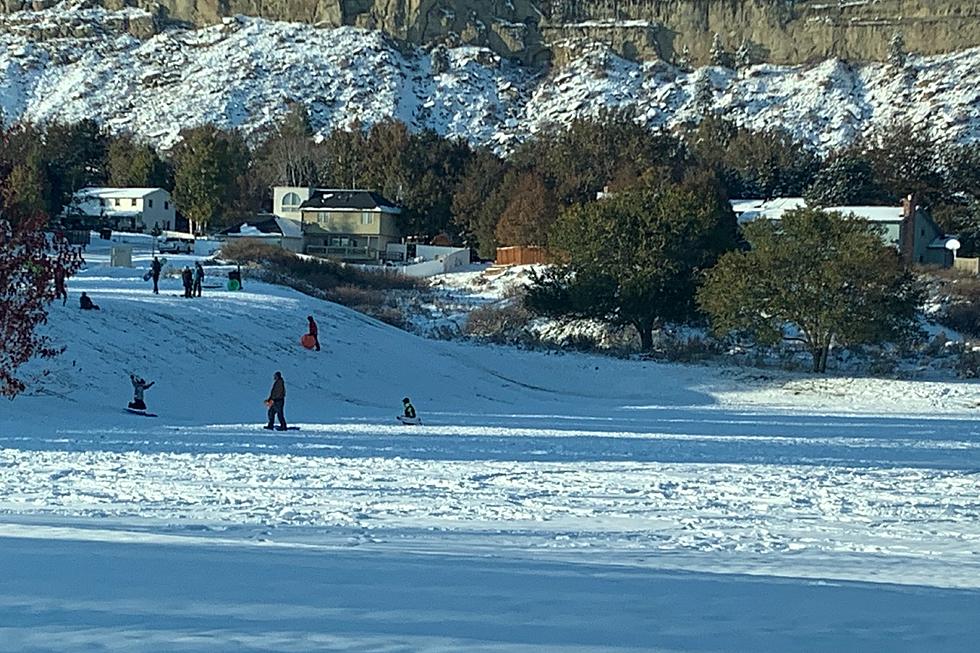
After Billings received the highest April snowfall total since 1955 last week, with a total of 13.9 inches of accumulation on April 12, you would hope that was our last blast of winter weather. Maybe not.
According to the current forecast from the National Weather Service, portions of southeast Montana and north-central Wyoming could have "another big precipitation event possible" and the potential for more snow.
Current details of the forecast from the N.W.S. predict rain will begin late Thursday night (4/21) into Friday (4/22), and change over to wet snow Friday night and Saturday. Snow accumulation could become "heavy" over mountains and foothills in southeastern Montana on Saturday and Saturday night, according to the forecast.
Here are some additional hazard concerns regarding this storm from the National Weather Service:
Heavy and wet snow could have a large impact on young livestock and recreationists and on traveling conditions. There is a great deal of uncertainty on the timing and position of possible heavy snowfall, so monitor the forecast closely!
The current forecast for Billings from the Weather Channel predicts about a half-inch of rain during the day on Friday, just under an inch of snow on Friday night (4/22), and the possibility of 1 to 3 inches of snow accumulation on Saturday (4/23).
While this weather pattern could bring some snow accumulation, its not likely the snow amounts will be nearly as dramatic as last week when 2 to 3 inches of accumulation per hour was recorded, and "approximately 10-12 inches fell between roughly 6 am and noon," according to the National Weather Service.
If you must travel this weekend during hazardous driving conditions, make sure to check road reports frequently.
To see the LIVE road report in the state of Montana, CLICK HERE.
For instant road conditions in Wyoming, CLICK HERE.
KEEP READING: Get answers to 51 of the most frequently asked weather questions...
LOOK: What major laws were passed the year you were born?
More From Cat Country 102.9


