
Temps in 60’s, Windy Conditions Bring Fire Threat This Weekend
Unseasonably warm weather, and a lack of snowfall in recent months, will increase the fire danger for southeast Montana and north central Wyoming this weekend.
The National Weather Service says increasing winds and temperatures beginning Friday (1/31) will "elevate fire danger" into next weekend. Wind gusts could be up to 60 mph on Saturday (2/1), with relative humidity forecast to be in the teens. Open burning could be hard to control, according to the N.W.S.
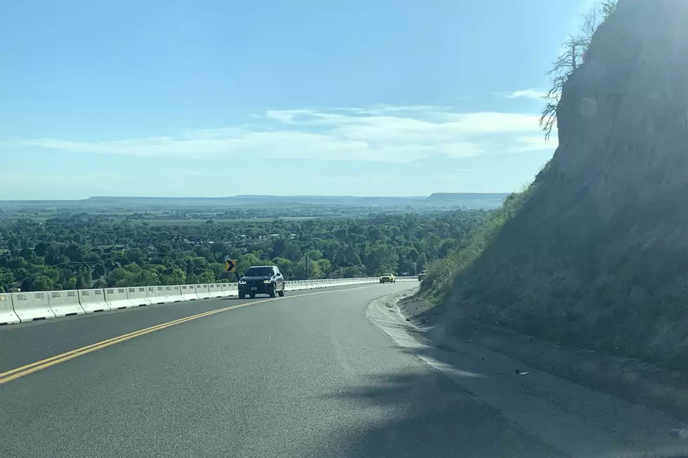
Hazardous travel conditions on Interstate 90 through Livingston will continue through Thursday (1/30), with the highest probability of wind gusts over 70 mph on Wednesday night (1/29).
Motorists in high profile vehicles should consider delaying travel or using alternate routes. -National Weather Service
Weather Channel forecast for Billings has high temperatures on Friday in the mid 50's, Saturday in the lower 60's, then a high around 50 on Sunday with a 40 percent chance of afternoon showers.
There's a good chance rain will turn to snow by late Sunday, early Monday morning (2/3). N.W.S. has a 40 percent chance of snow on Sunday night, and a 20 percent chance on Monday for Billings.
CLICK HERE to find ways you can be proactive in preventing wildfires.
For LIVE road conditions around Montana, CLICK HERE.
For LIVE road conditions around Wyoming, CLICK HERE.
More From Cat Country 102.9