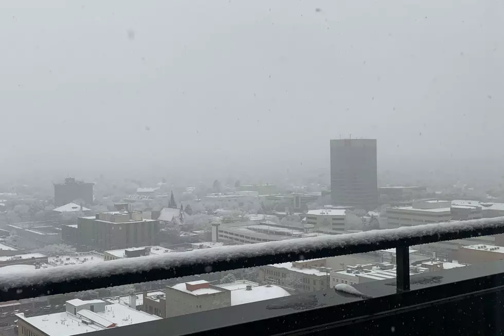

Winter Weather Advisory, How Much Snow Will Billings Get?
The National Weather Service is issuing a Winter Weather Advisory for Yellowstone County that will run through noon on Sunday (10/18), with several inches of snow expected to accumulate through the weekend.
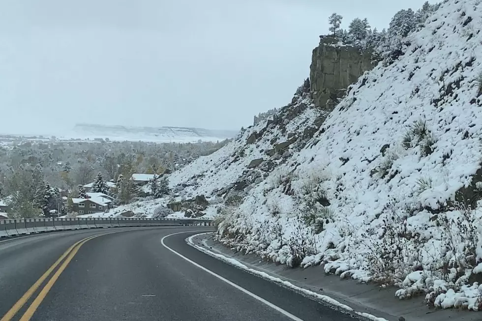
According to the NWS, central and south central Montana, and portions of north central Wyoming will be under the advisory from 12am Saturday (10/17) until 12pm MDT Sunday (10/18). A wintry mix is expected to begin after midnight, with a Canadian cold front bringing colder temperatures into the region and accumulating snow.
But there's still some uncertainty with how much snowfall will accumulate, according to the National Weather Service.
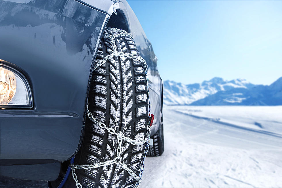
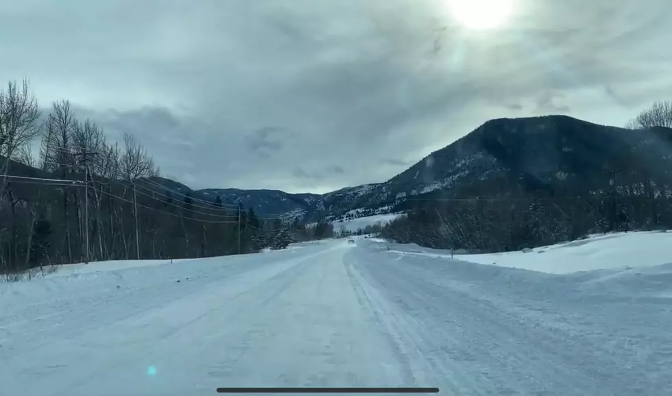
While current forecasts say there won't be much snow sticking to the roadways during the day on Saturday, tomorrow night there will be accumulation and "slick conditions" with temperatures dropping into the lower 20's on Saturday night (10/17).
According to current predictions from the National Weather Service, Billings could get 2 inches on Saturday, another inch Saturday night, 2 inches on Sunday, and an additional 2 inches on Sunday night. Less than a half inch of accumulation is currently expected on Monday (10/19), according to the NWS extended forecast for Billings.
After this weekend, the National Weather Service shows Billings has at least a 20 percent chance of snow every day next week, and into next weekend.
The Weather Channel is predicting up to 10 inches of snow for Billings by the end of this weekend, according to current forecasts.
Temperatures will be significantly colder through the weekend, and into next week for Billings, with highs in the lower 30's on Saturday and Sunday, according to the National Weather Service.
Additional weather impacts from the National Weather Service:
Travel could be difficult, especially Saturday night as roads could become icy. Wet, dense snow could bring down tree branches resulting in power outages. - N.W.S.
10 Smallest Towns in Montana
.
More From Cat Country 102.9